Define the collection brief
Bring the boundary, required sensor, capture window, site constraints, and intended deliverables into a reviewed task.
For survey teams, site managers, and asset owners
Define the area, capture requirements, and deliverables once. Aeros coordinates the collection work, tracks gaps, and keeps flight activity and review notes attached to the final handover.
Your fleet. Your flight systems. Your team in control.
Assets covered · North district
Show me what was completed and the assets that need follow-up.
All planned assets are matched to the mission record. Completed work, gaps and exceptions remain visible.
Bring the boundary, required sensor, capture window, site constraints, and intended deliverables into a reviewed task.
Follow planned areas against completed work and record gaps or observations that need another pass.
Keep mission status, source references, review notes, and unfinished work together for the team processing the data.
Inside the mission
Explore the infrastructure example, then select Debrief to inspect its sample result. This demonstrates mission tracking and handover; it does not generate a survey-grade map.
 aeros/Mission control
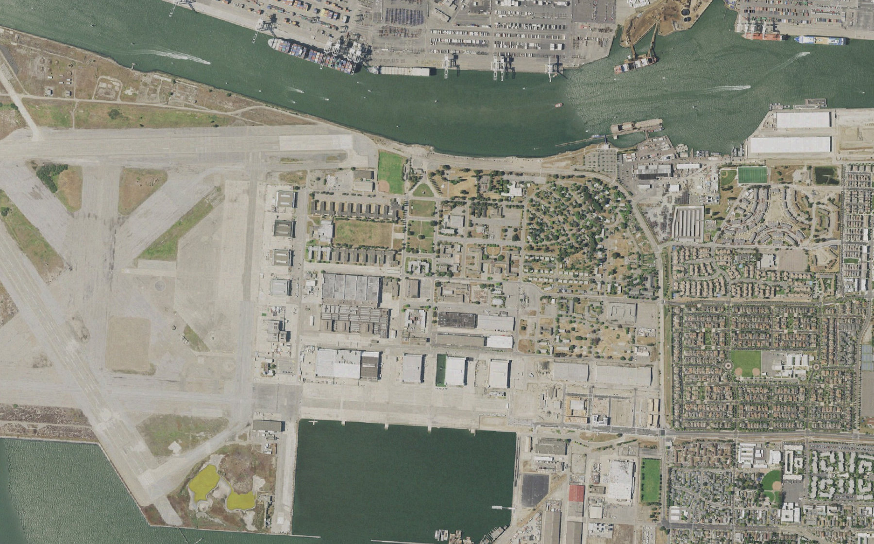
Inspect the north district. Prioritize the waterfront and finish before 07:00.
120 assets located in the connected asset register. The completion window and priority area are attached to the job.
From request to result
The mission is only useful if the collection matches the brief. Keep required outputs and review criteria visible from tasking through final delivery.
Set the boundary, sensor requirements, capture window, expected outputs, and review criteria. Survey accuracy requirements belong in the brief and the collection process.
Match supported aircraft and payloads to the area. Review routes, operating conditions, battery reserves, and responsibility before authorizing work.
Track completed areas and record missing or questionable collection. Review another pass, a revised assignment, or a rescheduled window with the operator.
Deliver a mission summary with coverage, source references, review notes, and outstanding tasks. Keep specialist processing and quality assurance in your chosen tools.
Connect your operation
Aeros is a software layer for existing drone operations. Start with one workflow, confirm the supported connections, and validate it with your operating team.
Area boundaries, capture requirements, supported fleet and sensor connections, deliverable formats, and review criteria.
Aircraft and payload fit, site access, capture window, conditions, reserves, and required operator approvals.
Collection status, coverage gaps, source references, review notes, and a mission handover record.
Supported data and actions vary by aircraft, dock, and provider API. Flight execution, connectivity, operator qualifications, and required authorizations remain part of your operation. We agree those dependencies before deployment.
Practical questions
Aeros coordinates collection and the mission record. Photogrammetry, point-cloud processing, georeferencing, and survey quality assurance remain with specialist tools and qualified teams. Required file and processing connections are scoped during setup.
You can describe the objective, area, time window, and outputs. Those instructions need to become a structured plan with explicit capture requirements and operator review; a sentence alone does not establish survey accuracy.
The debrief offers a sample JSON mission record marked as a simulation. It illustrates assignments, decisions, and results. It contains no live flight data or production survey deliverables.
Built around the way you operate
Show us your fleet, the systems you use, and one job you want to coordinate. We’ll define the connections, review points, and outputs together.
Talk to the Aeros team